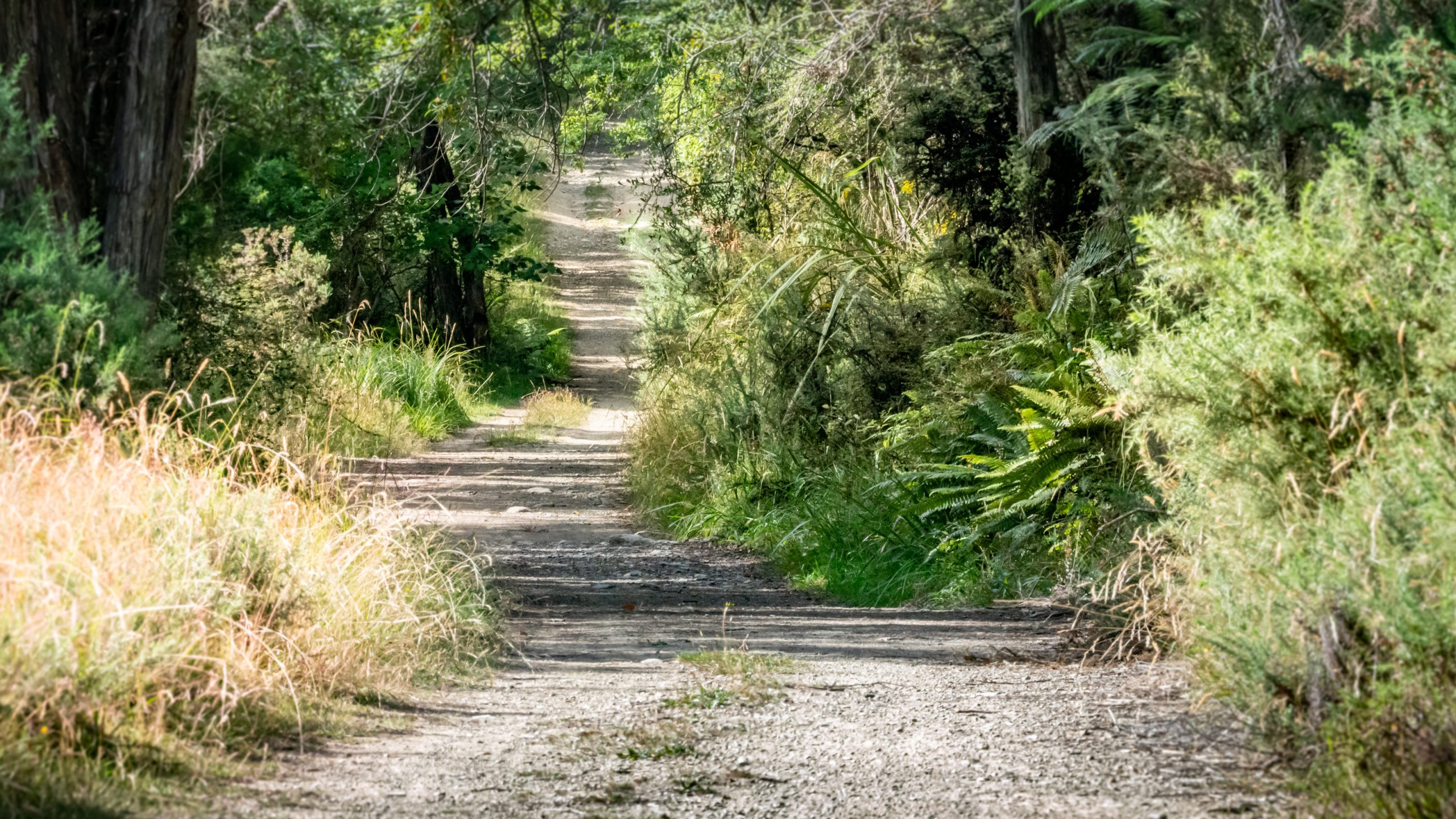
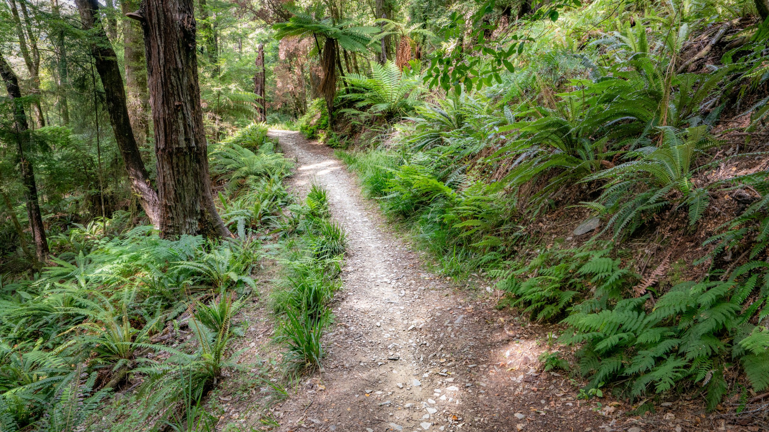
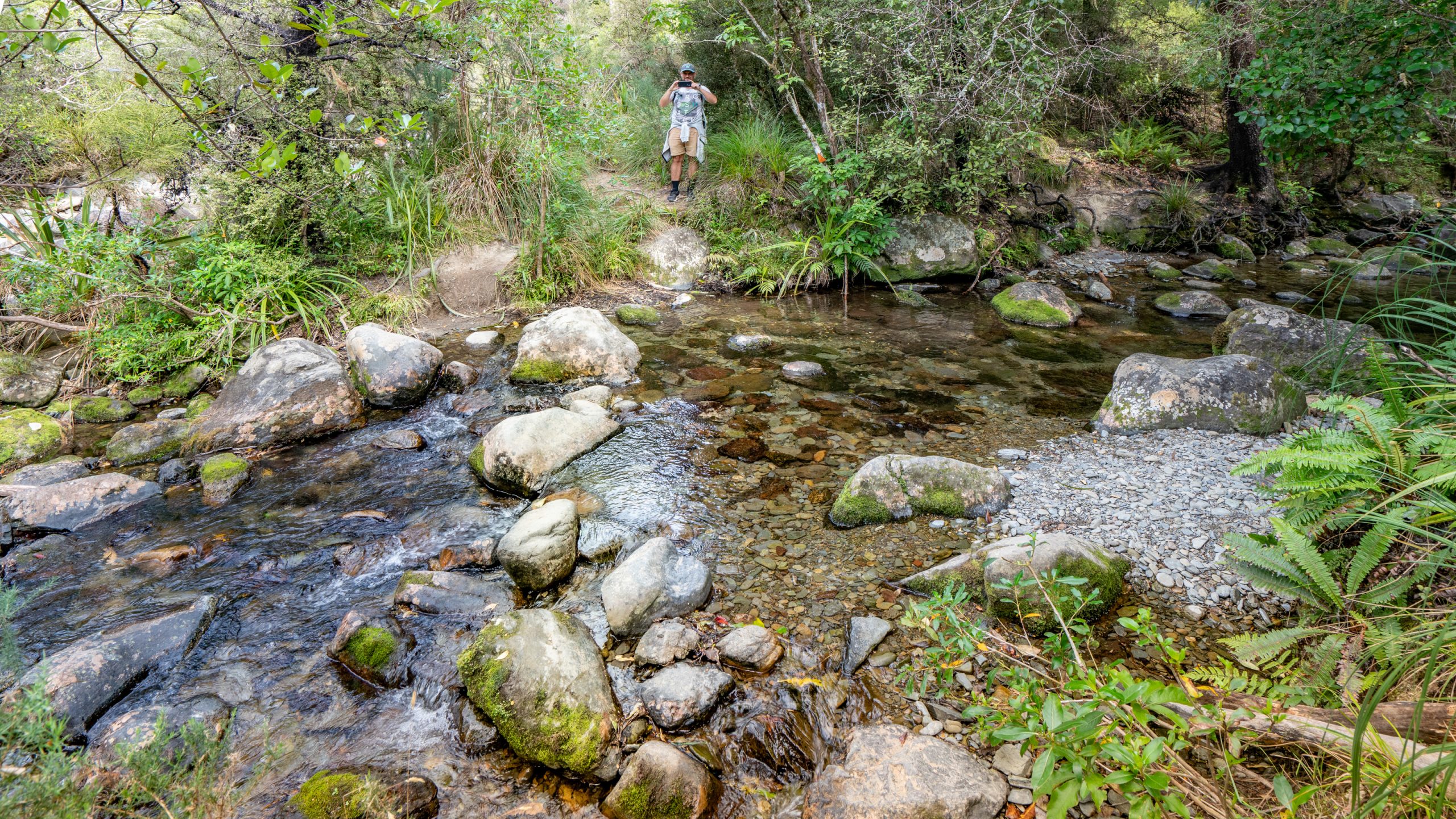
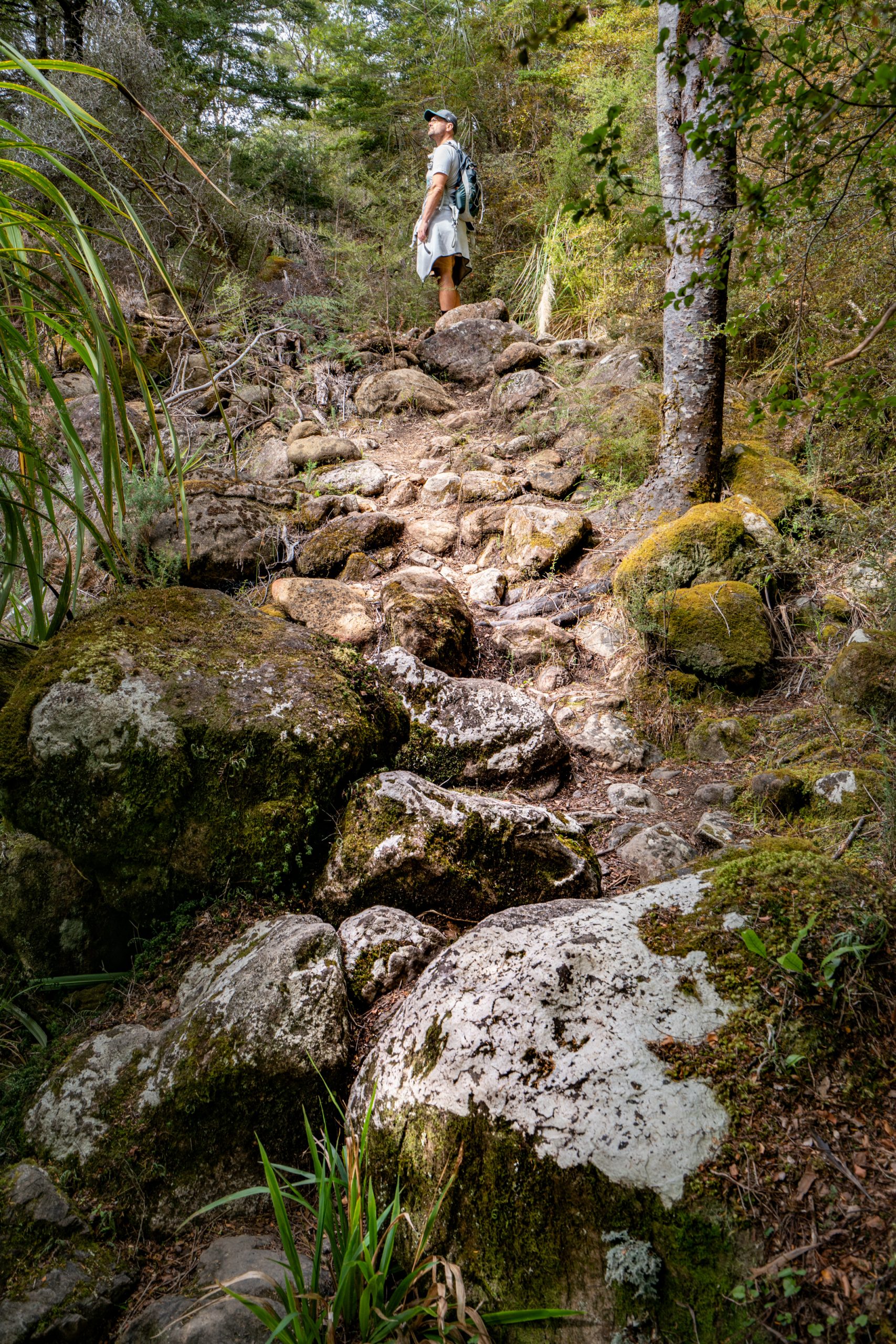
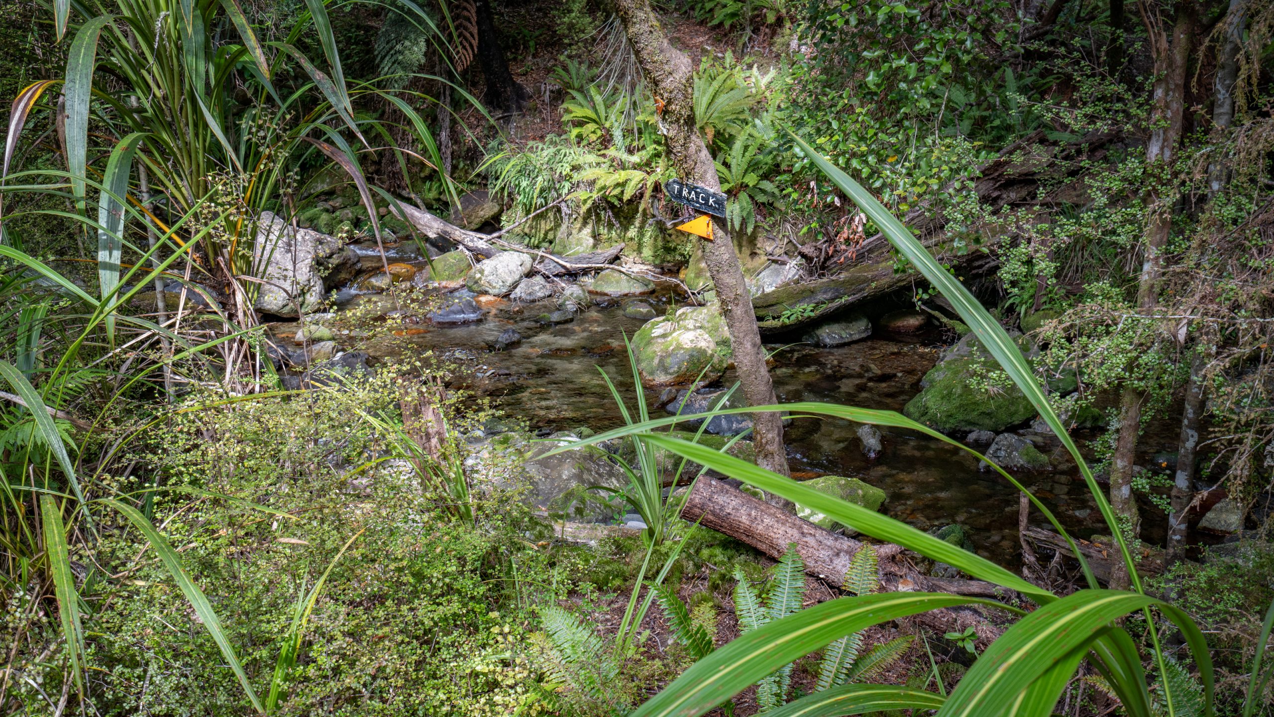
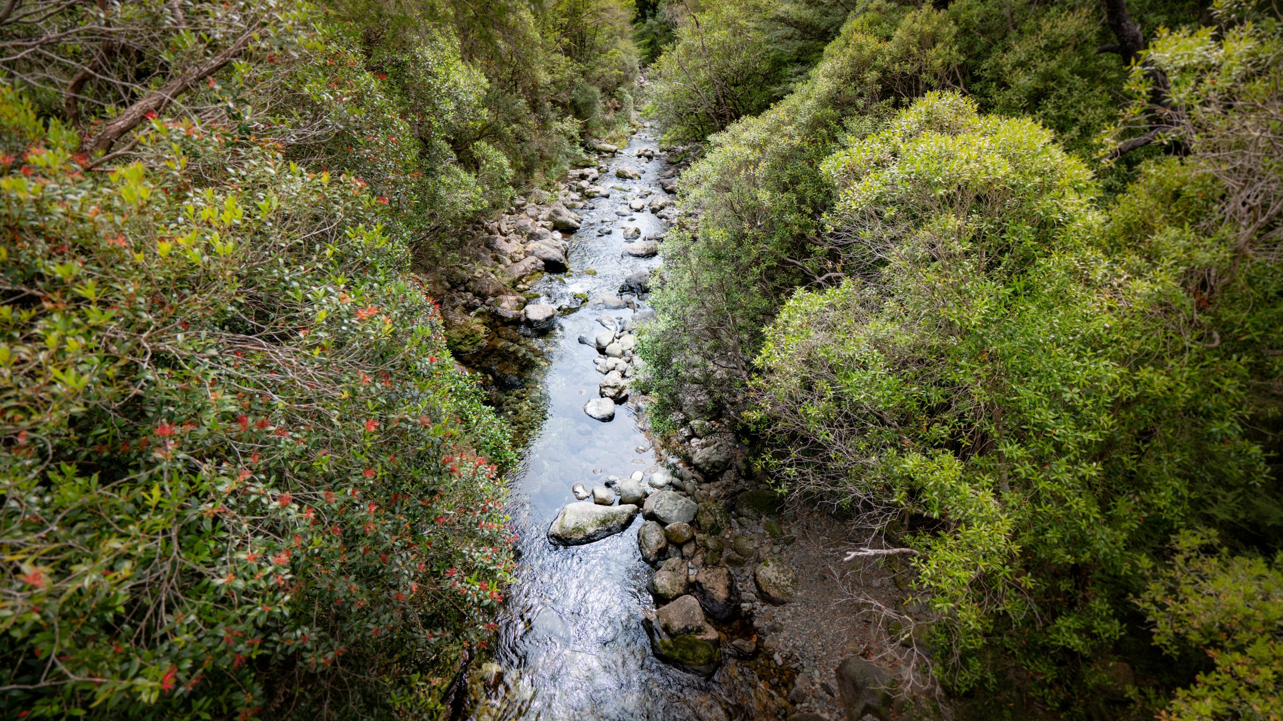
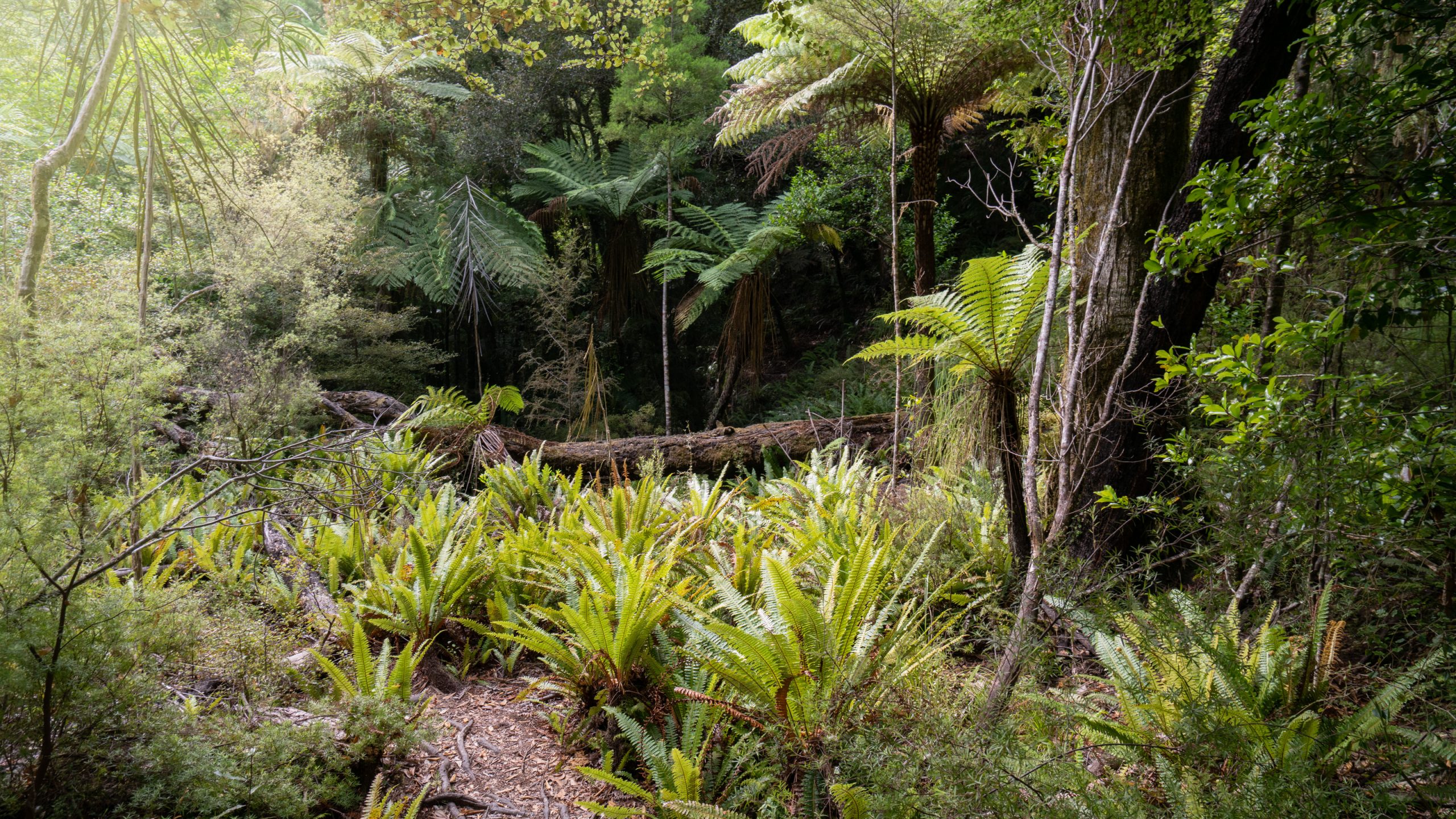
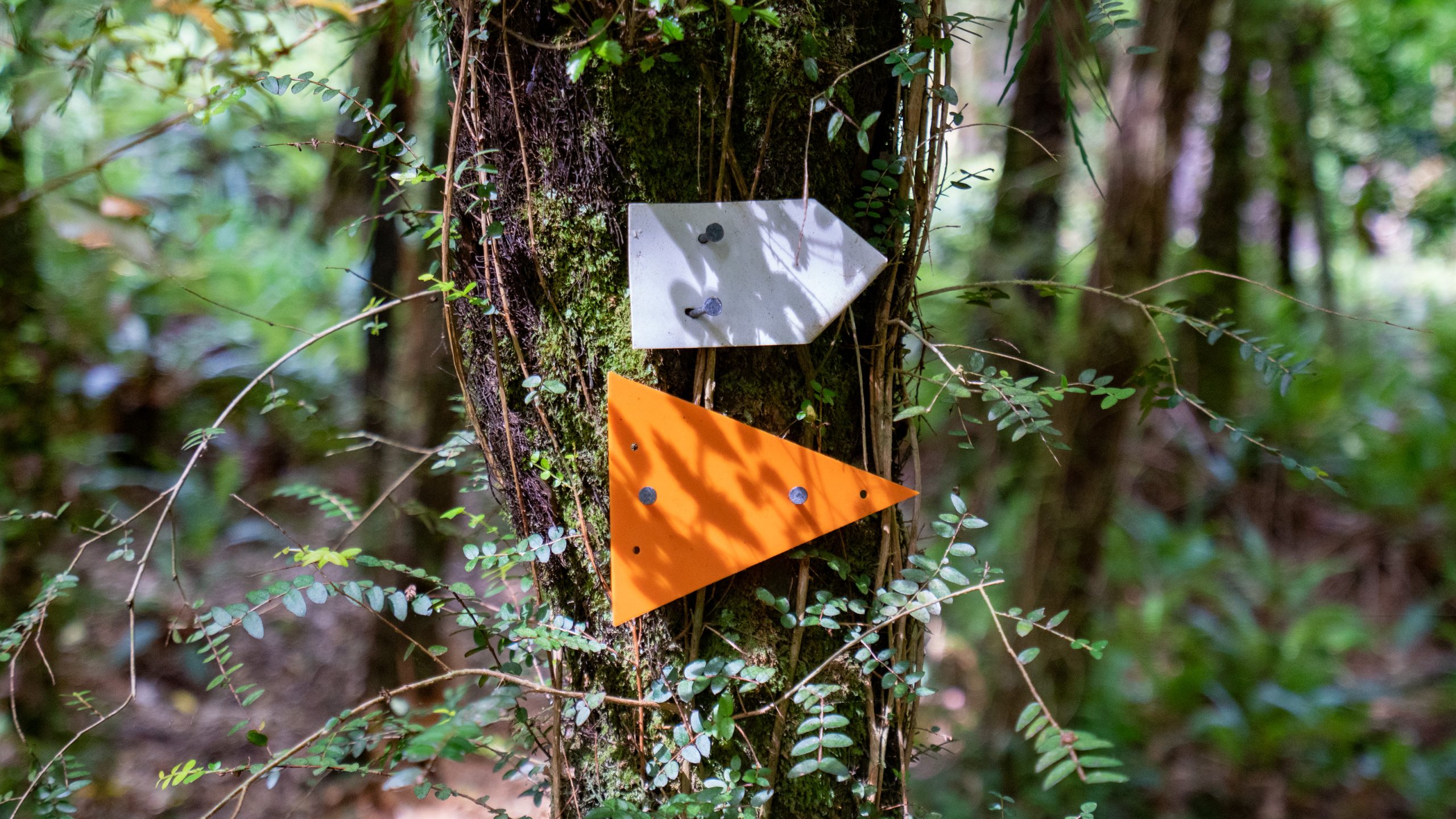
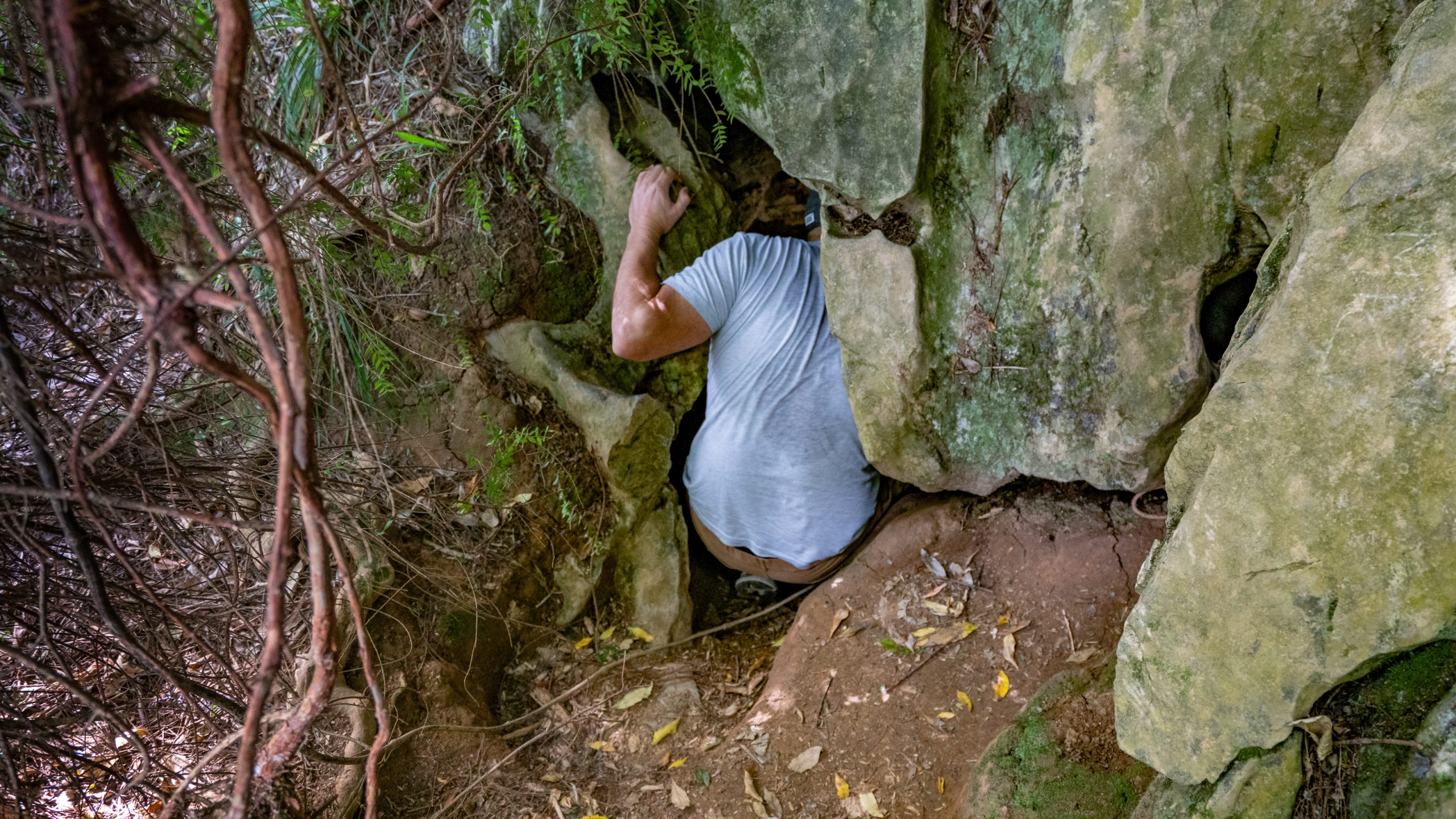
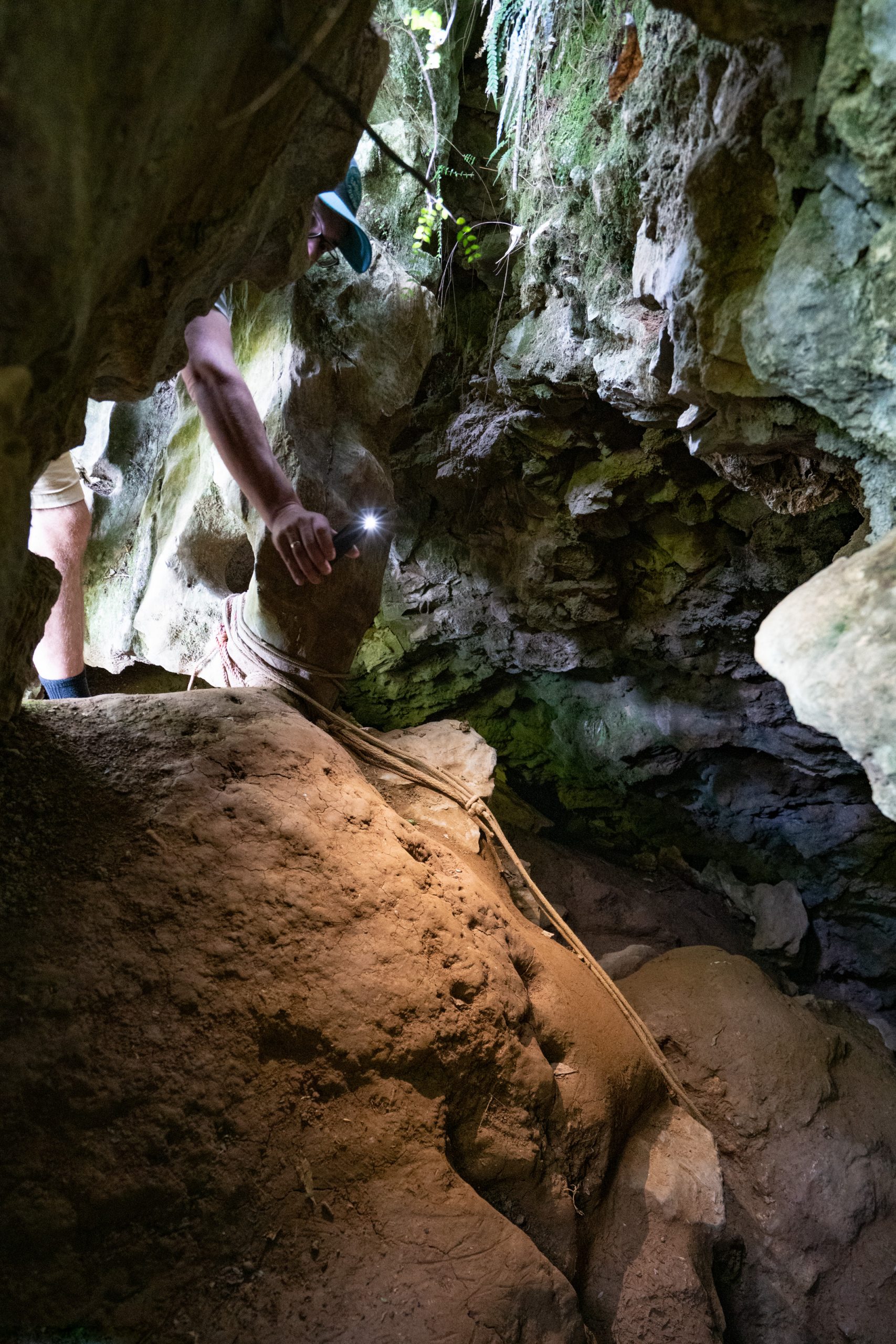
3 hours return from Maitai dam, through mixed bech and podocarp forest, we walk along the pristine Sclanders Creek. The cave is part of the Wooded Peak limestone formation, a limestone belt that goes NE to NW through Mt Richmond Forest Park. The whole area lies within the protected Nelson Maitai Water Reserve.